Eminence, April 11
Our last day at Eminence, MO. We wanted to continue visiting interesting places we were told about by other people who have visited or live in the area.
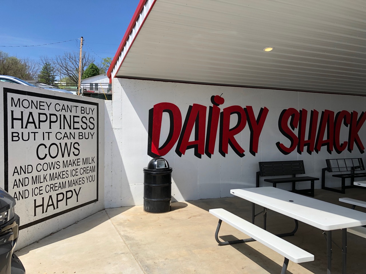
On our way out of town, we had to stop by the local Dairy Shack and photograph their sign:
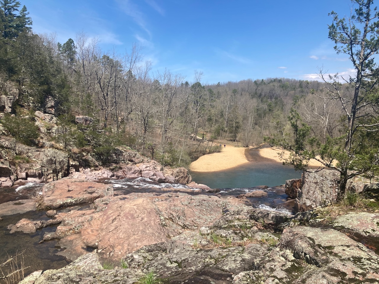
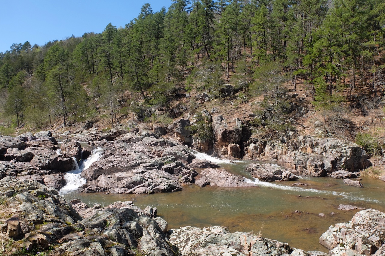
First up on our list was Rocky Falls. Google Maps was leading us down a dirt road, but we didn't think anything of that because it seems as though all of the sites are almost always down dirt roads! We followed it, driving through a creek a few times! We could see it was shallow and the water wasn't moving very fast, so we went through with no problems.
Surprisingly, this delivered us to the top of Rocky Falls! Looking down, we could see the parking lot and the sand bars and people at the bottom. Obviously, that's where the landmark should have been placed!
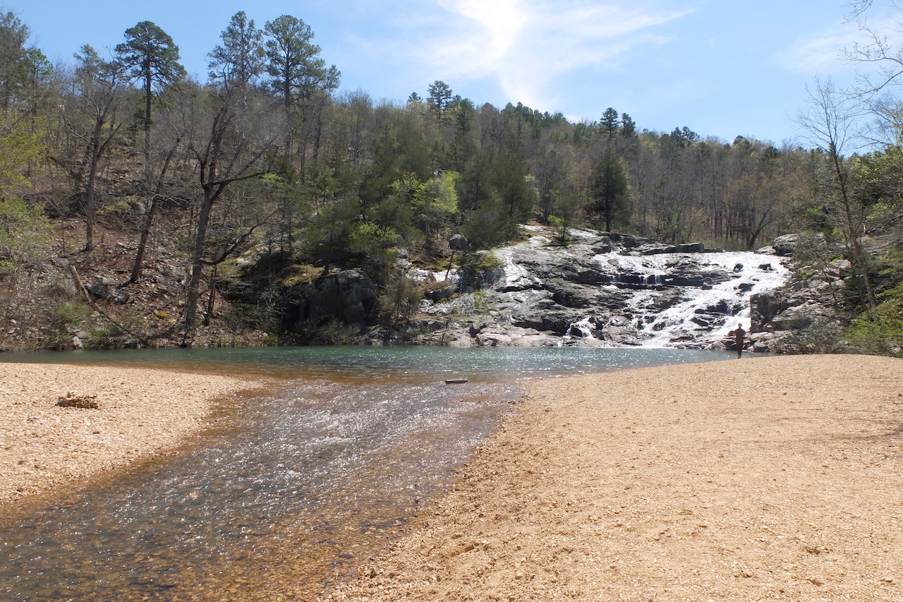
Going back to the dirt road, we saw that we could actually drive through the creek one more time and would end up at the bottom, however... we could also see that this particular ford was quite a bit deeper and more water, moving faster! Since we had a cellular connection, Richard looked up information about how deep an F-150 can go. Sounds as if generally "to be middle of the axles" and other places said that sometimes water could get into the differential joints, which would require removal and repacking with grease. We decided on the side of caution and went back down the road and around to the lower side.
Top of Rocky Falls
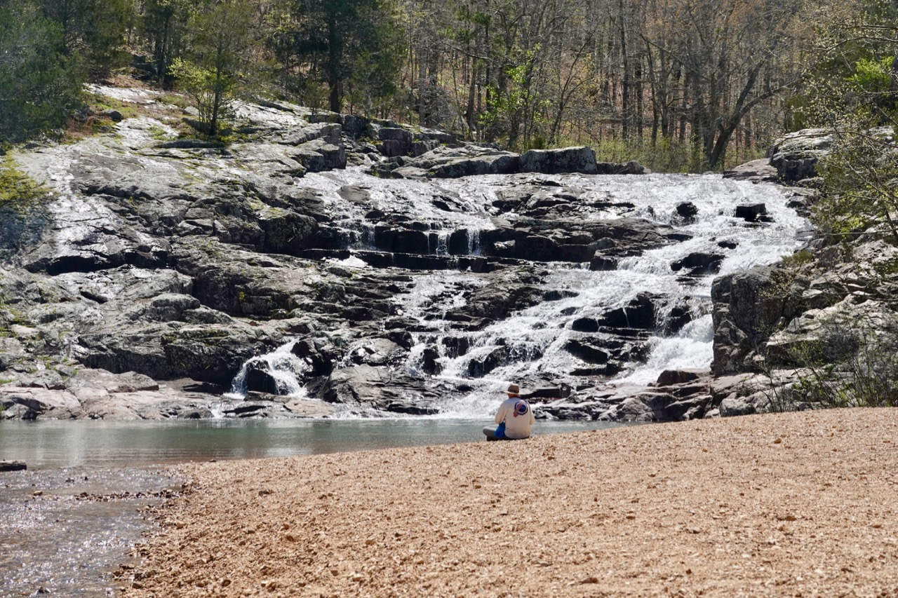
It was quite a trek, but well worth the trouble.
Bottom of Rocky Falls
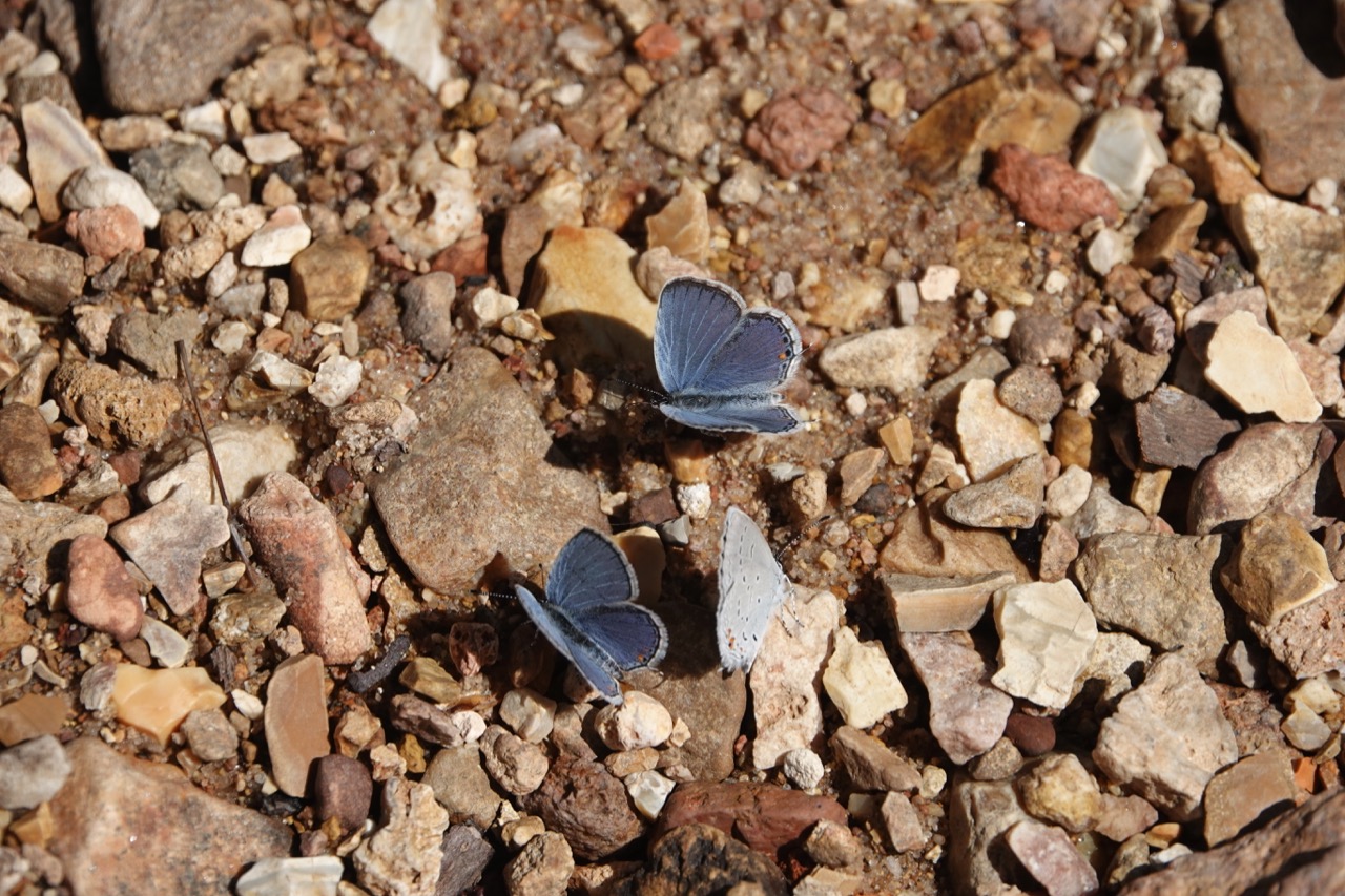
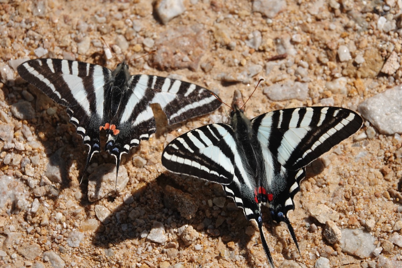
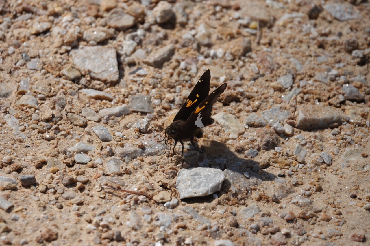
Tiny little (1/2 inch) butterflies:
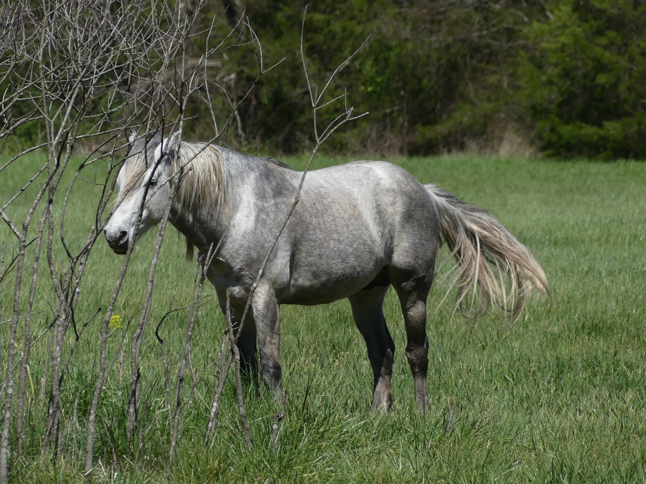
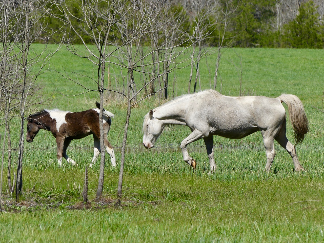
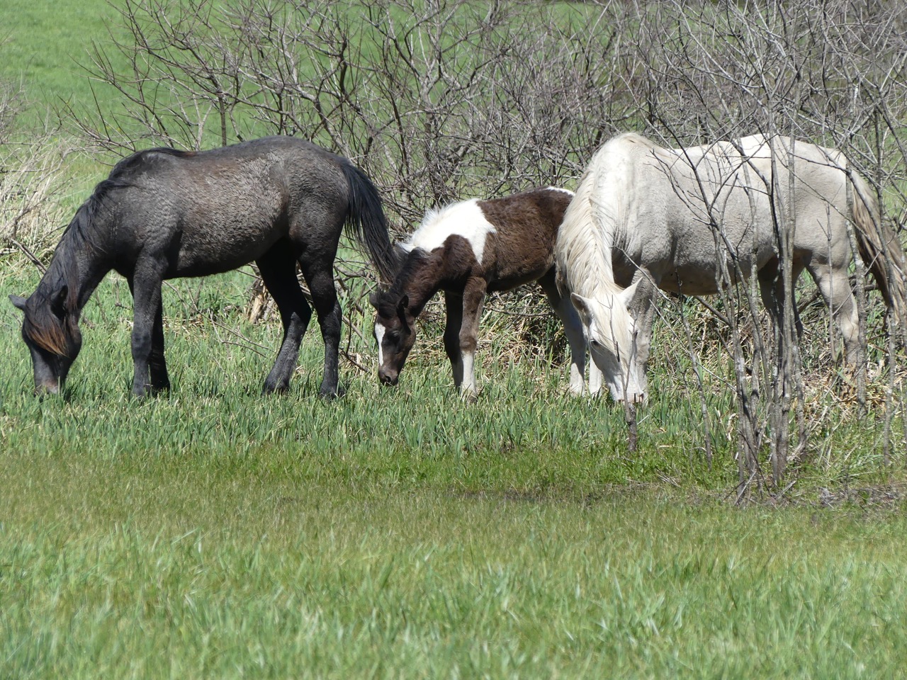
There is actually a hiking trail from the falls over to Klepzig Mill, however it's quite a long hike, but looking at the map, we could see the Mill is actually right next to a different road, so why not just drive there! This turned out to be down yet another dirt road, of course, and along the side of the road at one point, we encountered a field where wild horses were grazing! (We were told they were wild horses by a local person when we had to pull over on the dirt road to let them by. We just pulled over and then they stopped and we had a little talk right there in the middle of nowhere!)
The herd stallion:
Mare & Foal:
Likely same mare & foal plus her yearling daughter:
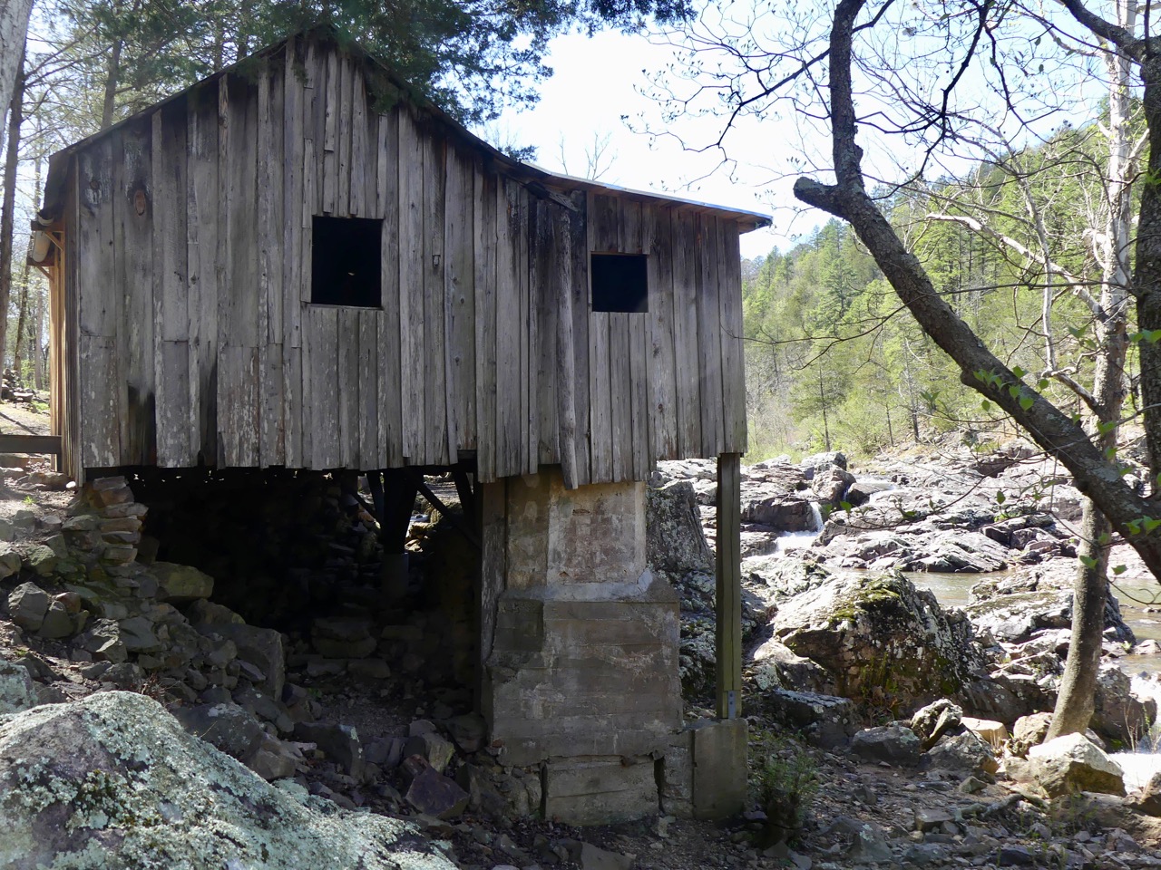
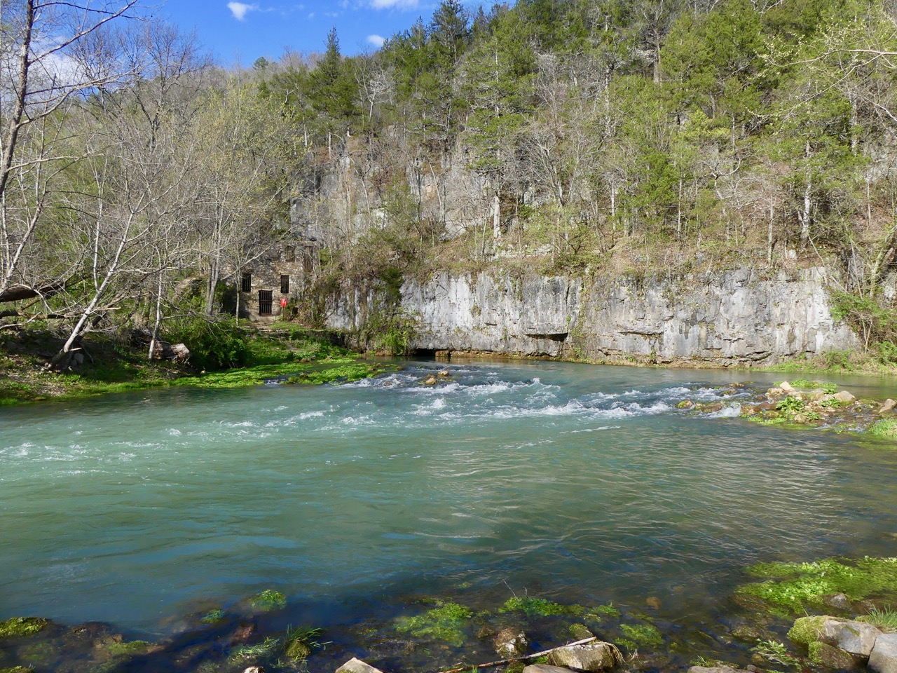
Arriving at Klepzig Mill, we learned that the Mill had been built by Prussian German Immigrant and he built a saw mill, corn mill, and a power generator for the people in the area. Now, the dam on the river has been removed and the sluice is mostly removed as well, but the generator house is still there.
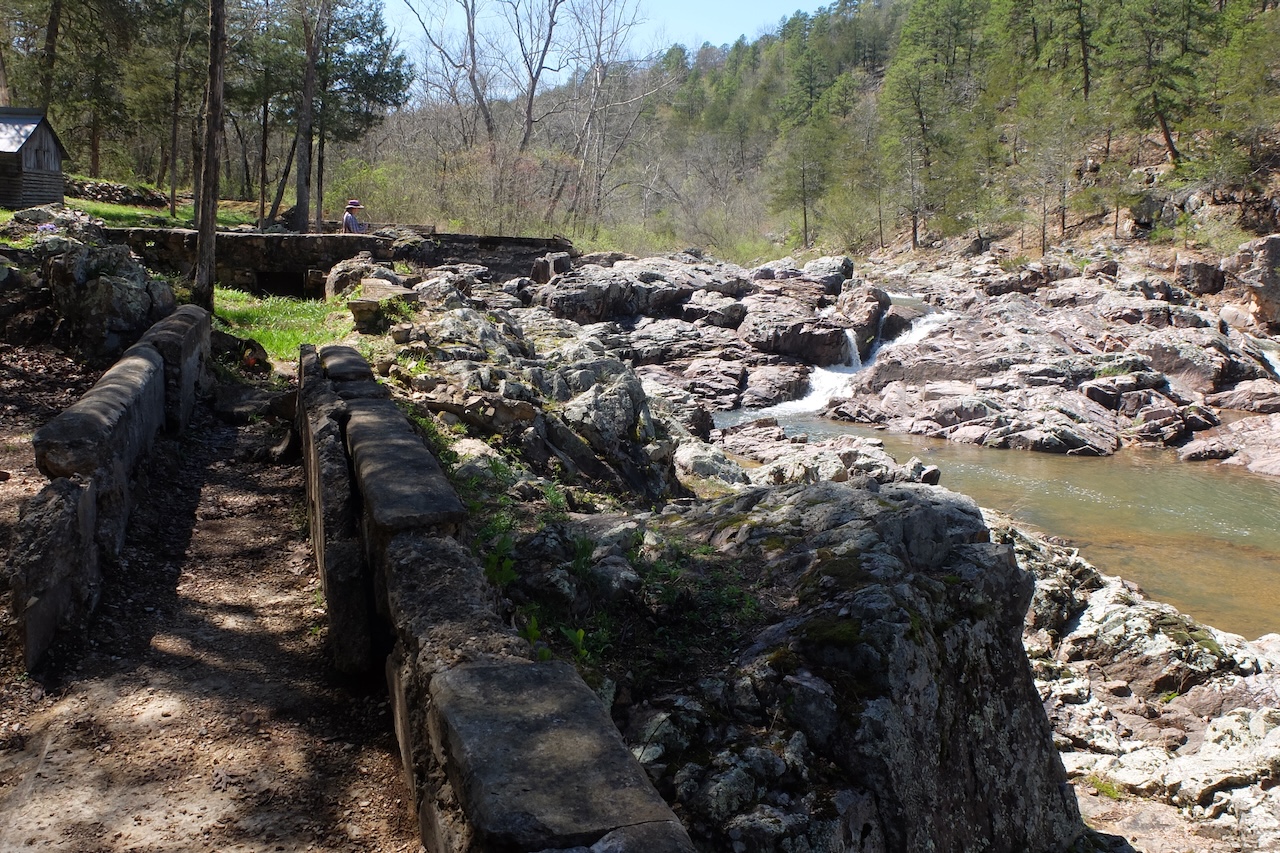
The waterfall is really beautiful.
Butterflies!
On our way to our final destination, we stopped off at Round Spring.
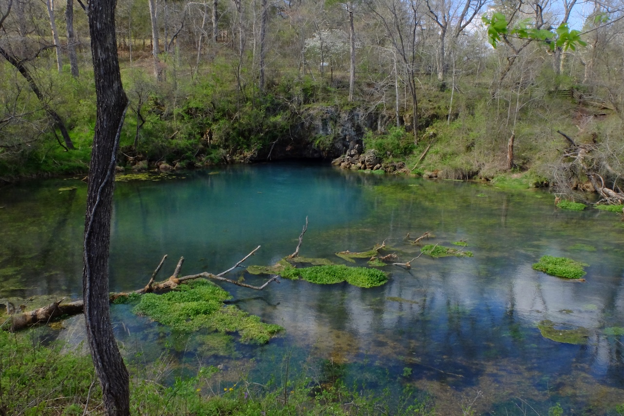
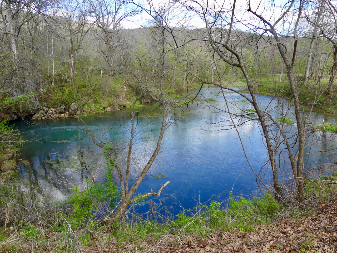
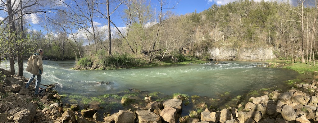
Those people we met along the dirt road in the middle of nowhere? They're the ones who told we that we should visit the Welch Spring Hospital Ruins site. After a 1/2 mile hike along the river (the Current River, of course), we arrived at the site, but the water from the spring produces such a large and strong stream that there was no clear way to get across to the old hospital building itself. It seemed strange, because we coulld clearly see signs on the other side!
Ruins of Welch Hospital at Welch Spring
Richard found that, yes, there really is a small trail which runs along the top of the cliff above the spring:
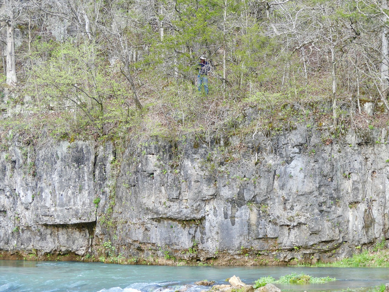
but the trail became very narrow, muddy, and slippery, so he returned without proceeding.
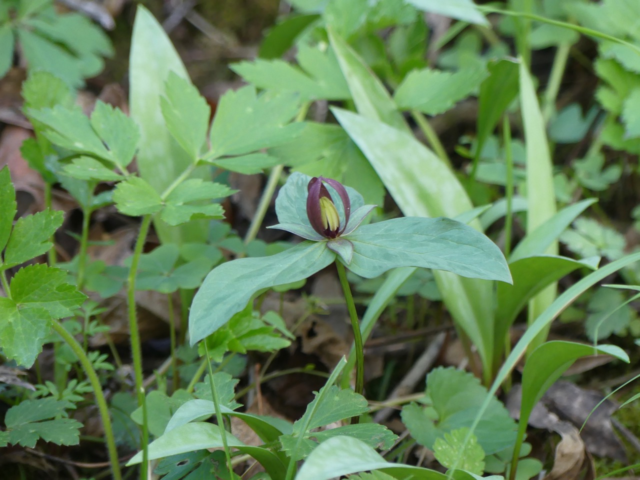
Trillium along the trail:
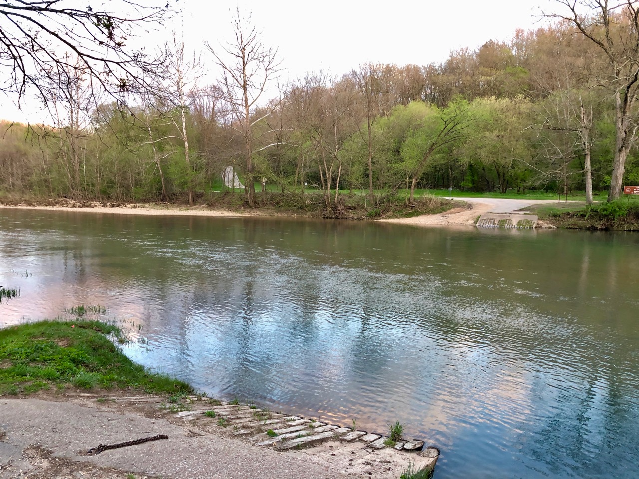
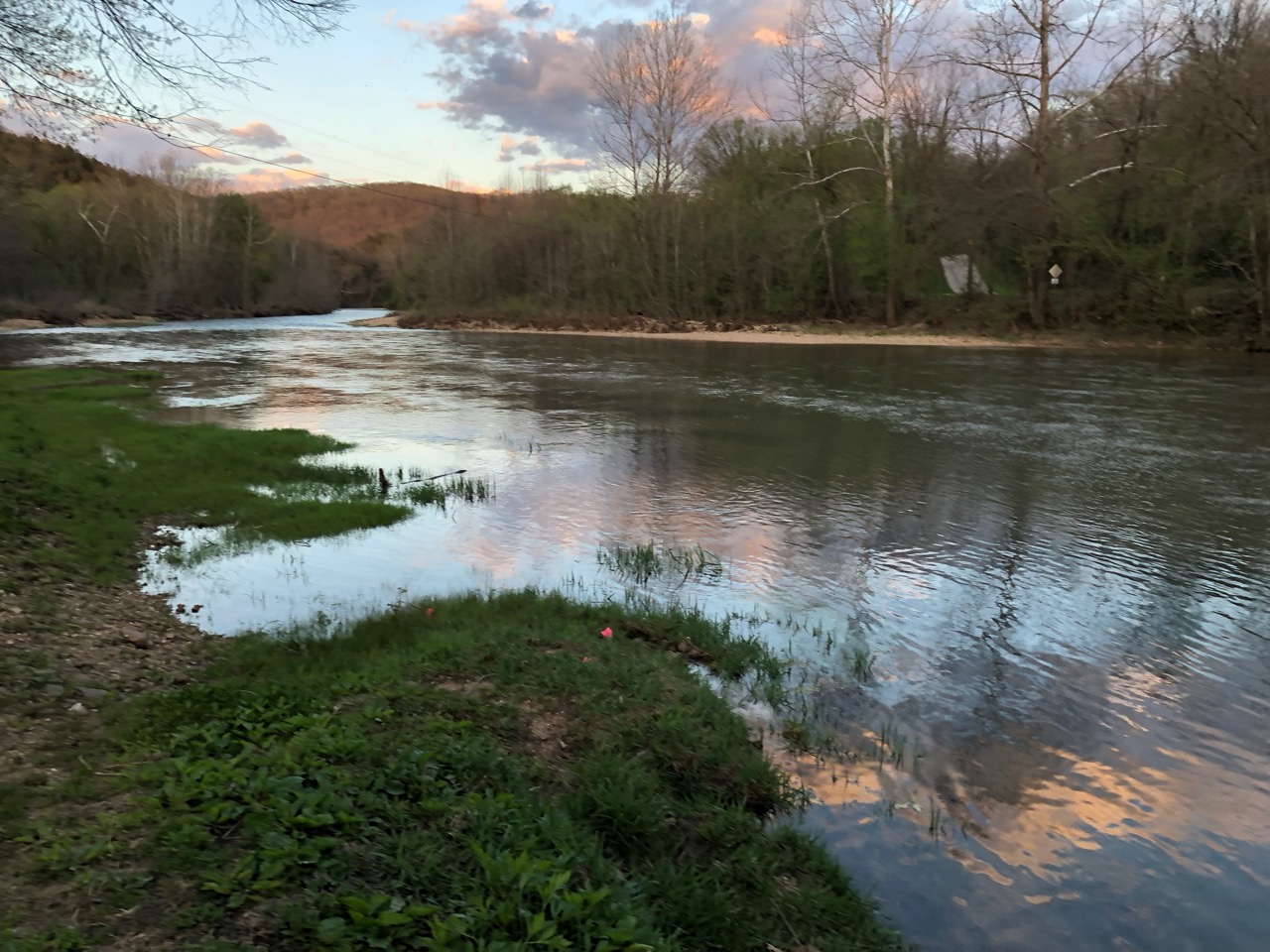
By the time we left Welch Spring, it was sunset and time to head back "home" to our patient and loving kitties (well, loving anyway). On the way back, we passed by a small ferryway which crosses the Current River. It wasn't running, but there was a sign giving prices and times of operation.
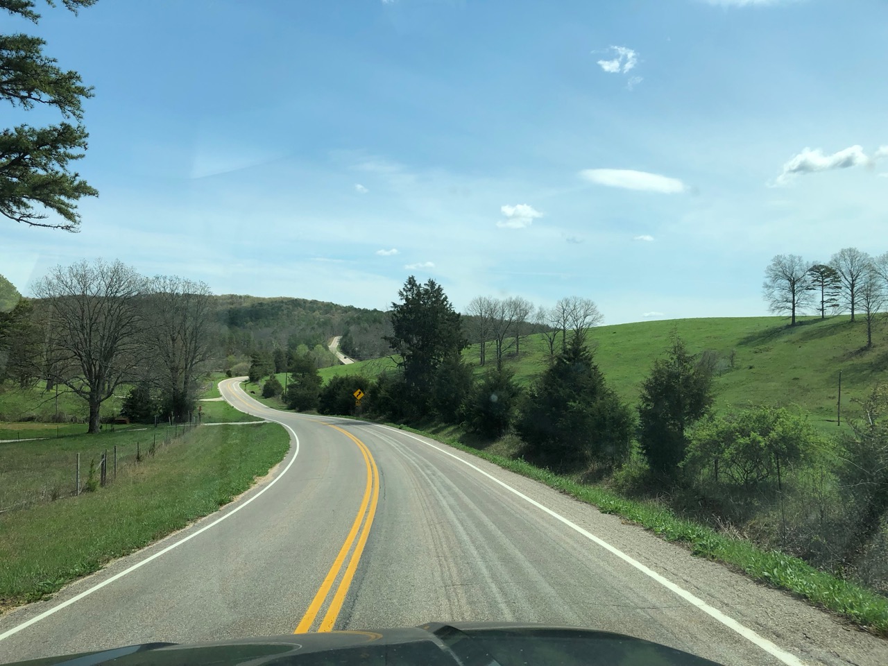
We went around... Roads in Missouri are not straight.
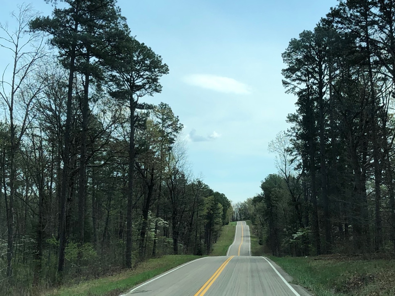
Or flat:
So ends our last day at Eminence, MO. It's a beautiful place!
Sunset on the Current River, at the ferry crossing:
Onward to Finger Lakes State Park. Should be on the order of 4 hours from here. The weather is supposed to be good with low wind. Maybe, at last, we're leaving some of this rain behind us?